Research
Solid Earth Deformation of Antarctica
Solid Earth’s Response to Hydrologic Loading

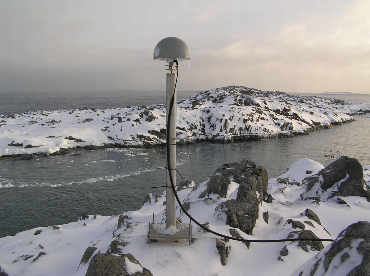
The Earth is not perfectly rigid; its surface deforms in response to the weight of surface masses, such as water. For example, Earth’s surface sinks under the weight of water during high tide and rebounds during low tide. To track these changes, we use high-precision GPS to measure surface displacements with millimeter accuracy. This allows us to monitor how the Earth’s surface flexes due to the storage and flow of water. By analyzing these GPS measurements, we can estimate the amount of water added or removed from a watershed on both daily and long-term timescales.
Reference Frames for Crustal Motion Geodesy
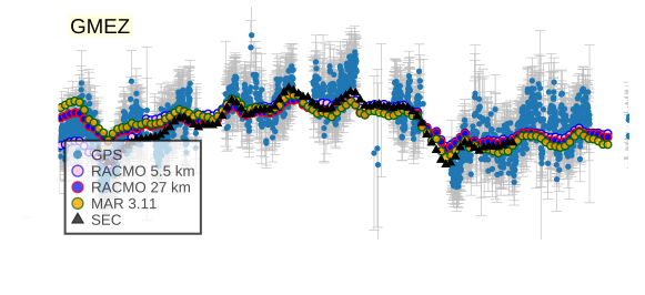
Trajectory models are mathematical tools used to characterise geodetic positions as a function of time. However, there are differing perspectives between geodesists and geophysicists. Geodesists use these models to predict the position of a given station on a specific day. In contrast, geophysicists view station trajectories as models that offer insight into the dynamical behavior of the Earth’s solid structure. My research falls within the geophysical domain, where I analyse the nature of observed crustal displacement time series and investigate the potential impact of modern trajectories on the realisation of reference frames. Specifically, I focus on uplift rates in Antarctica, exploring how their variability over time. I consider both acceleration and average uplift rates when studying these processes.
We invite motivated students interested in pursuing research in geodesy to join our group at Newcastle University. If you’re considering a PhD, we would be happy to discuss potential opportunities and explore how you can contribute to our research. Please reach out to connect!